
Countdown to
Xacobeo 2027
The Camino unites us
They are missing
days
hours
minutes
seconds
Xacobeo 2027 begins! Good Way.
24 hours
walking together
News · Radio · Television · Stories of the Camino
Camino Lebaniego natural trail

River Path of theNansa

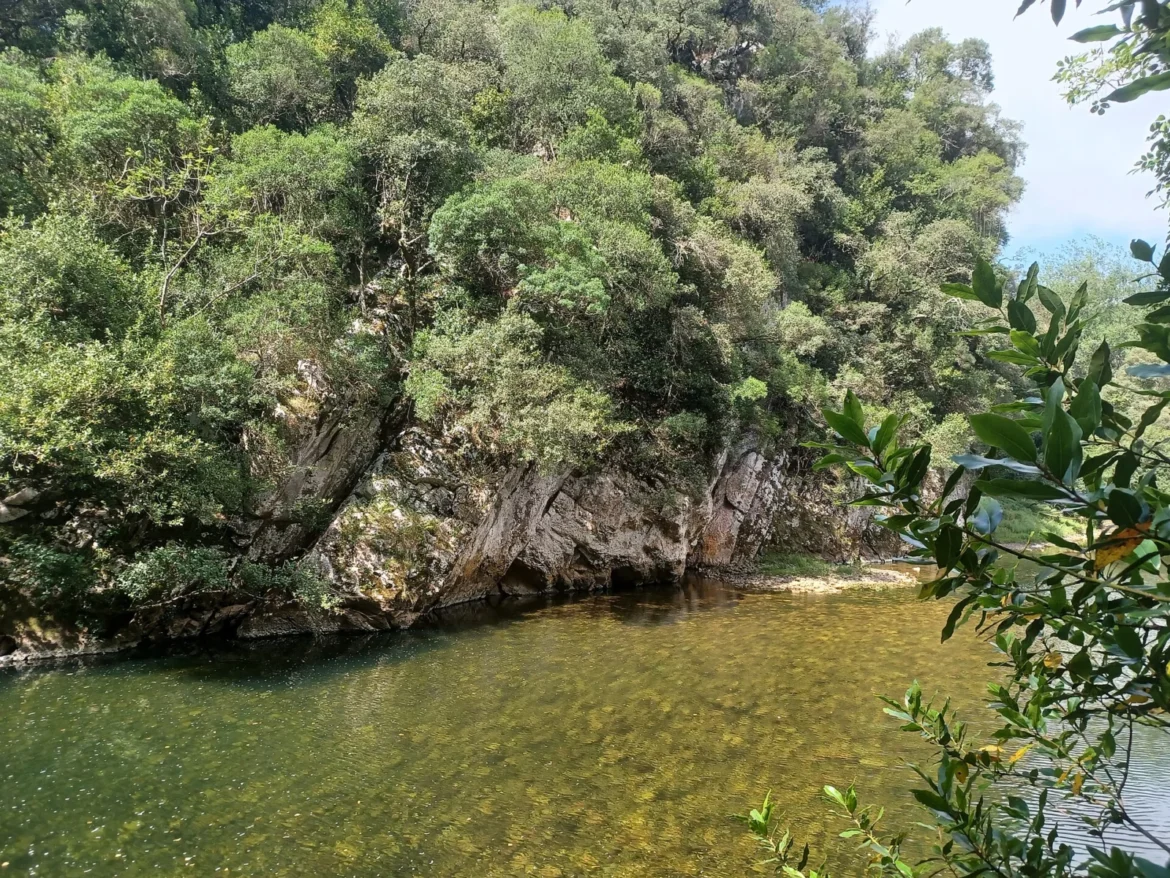
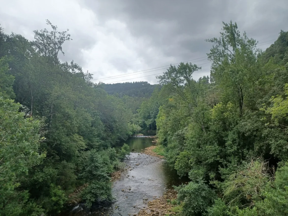
Traditional path between Muñorrodero and Camijanes, with riverside forest, walkways and landscape of the Nansa River.

Muñorrodero

  • Type of placenature trail
  • Visiting hoursOutdoor trail without business hours; Access conditioned by flow, weather, works and possible closures.
  • AccessStart near Muñorrodero; riverside tour towards Camijanes. Follow current signs and restrictions.

Map and location on the route

Nansa River Path on the Lebaniego Road.

Loading map…

History

The Nansa River Path recovers old passes linked to fishing and communication between the populations of the lower course of the river. Starting from the surroundings of Muñorrodero, the itinerary advances through riverside forests and embedded sectors that help interpret the historical relationship between water and rural life in the valley. The walkways, fishermen's shelters and narrow paths remind us that it was not born as an urban walk, but as a traditional path adapted to difficult terrain. In the area of ​​Camijanes and Tortorio, other testimonies of the use of the Nansa appear, such as the 18th century stone bridge and the Trascudia hydroelectric plant. The Lebaniego Trail allows you to explore this natural and industrial heritage, although the state of the trail depends on the flow, the works and the safety conditions.
What to see

  • Discover the riverside forest, the holm oak vegetation, the wooden walkways and the old steps and fishermen's shelters next to the river
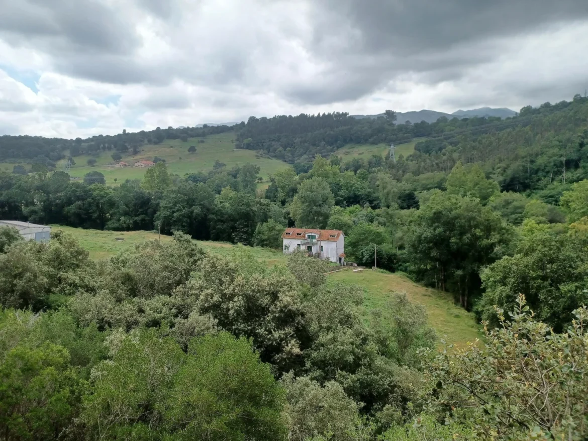
  • The landscape changes between open areas and hidden corners
  • Towards Camijanes, the surroundings of the Tortorio bridge and the Trascudia power plant recall the historical use of the Nansa
  • The photographs show landscapes of the Muñorrodero-Cades section, they are not identified as views of an exact point on the path

Tips for pilgrims

  • Check floods, mud and condition of walkways before entering
  • Do not use the river variant in adverse conditions
  • Bring water, mountain shoes and an updated map

Photo gallery

Landscape of the Lebaniego Road between Muñorrodero and Cades in the Nansa valleyLandscape of the Lebaniego Road between Muñorrodero and Cades in the Nansa valleyLandscape of the Lebaniego Road between Muñorrodero and Cades in the Nansa valley
KJ , the pilgrim reporter

Your Guide to the Lebaniego Way

Ask him what you need about the Nansa Fluvial Path, the Lebaniego Way, its stages, shelters and services.

KJ will respond very soon with his assistant; Meanwhile, we searched the entire web for your question.

your companion
on the way
¿Hablamos por WhatsApp?