
Stage profile
Approximate profile, calculated on the layout of the stage.

The Cades–Cabañes stage of the Camino Lebaniego: 30.53 km, 1,525 m climb, Lafuente, Cicera, Lebeña, accommodation and tips for planning it.
Cades → Cabañes (30.5 km)
Approximate profile, calculated on the layout of the stage.
Ask me about this stage: schedules, services, variants, road conditions...
The second official stage of the Camino Lebaniego links Cades with Cabañes along 30.53 kilometers, with a cumulative ascent difference of 1,525 meters according to published information. It is a demanding mountain day that many pilgrims prefer to divide with a stop in Cicera.
Reference GPS track: Cades–Cabañes, Of Routes and Paths on Wikiloc. It is a route registered by a third party, with its own distances and gradients that may differ from the official itinerary. Before using it to navigate, check the variant, the state of the road and the directions in the published information.
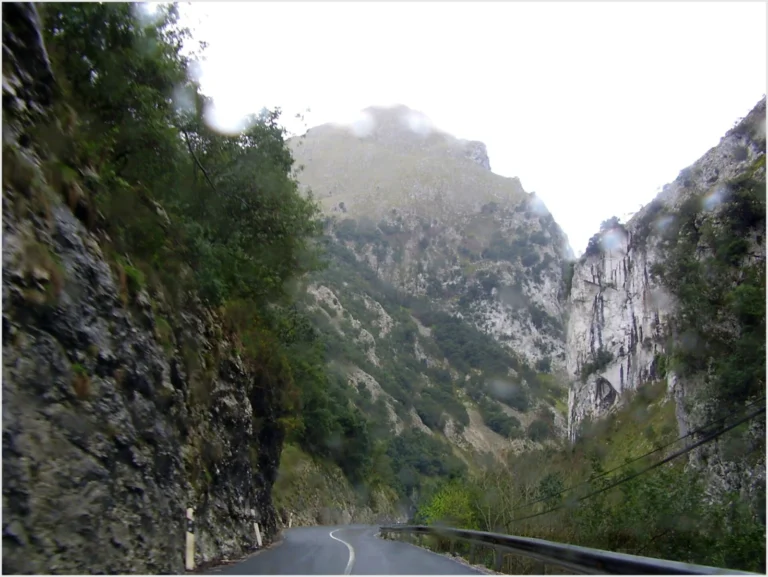
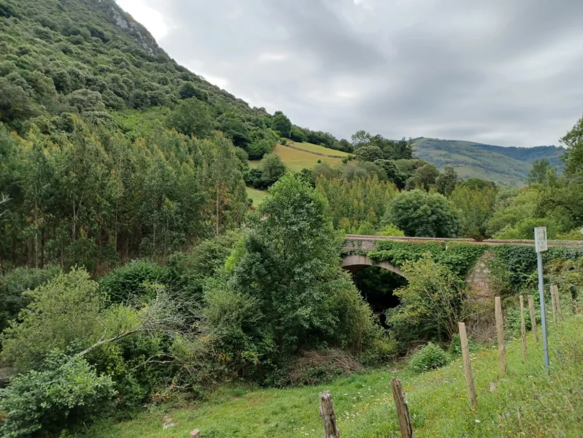
The route leaves the surroundings of the Cades Ironworks and enters the Lamasón valley. During this first sector there is a considerable stretch of narrow road, with curves and no shoulder. It is advisable to take extreme caution, walk on the side indicated by traffic rules when appropriate and carry visible items if the light is poor.
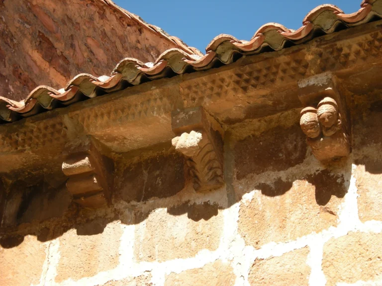
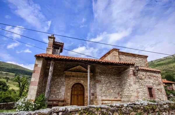
Before reaching Lafuente, the pilgrim crosses the surroundings of Sobrelapeña. The church of Santa Juliana, Romanesque with transitional elements to Gothic, is worth a stop. In this part of the stage it is not advisable to assume that there will be open shops or water points at any time.
From Lafuente you ascend towards Burió and the Hoz hill. After passing the stop, the Camino descends towards Cicera, a town with its own file in the RTV Viva Guide. His hostel has its own file and allows the tour to be divided, as long as it is reserved and the opening conditions are confirmed.
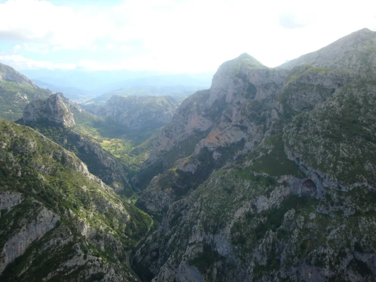
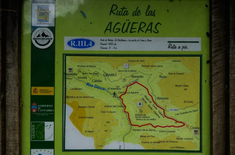
From Cicera you can make a detour to the Santa Catalina viewpoint, with views over the La Hermida gorge. This walk adds kilometers to the Camino and must be calculated separately.
See Cicera's file, with photos and services.
See photographs of the Santa Catalina viewpoint.
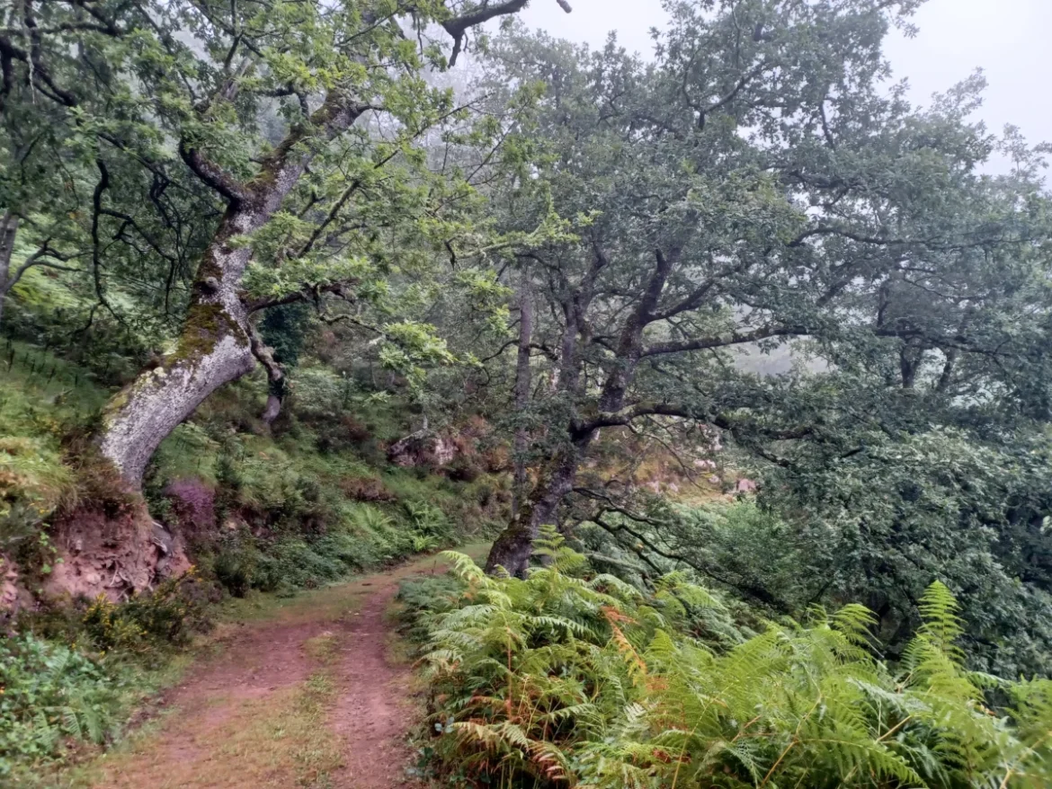
The route continues through a forest environment, with paths and slopes, until reaching the church of Santa María de Lebeña. The temple, associated with the 10th century, is one of the most relevant monuments on the Camino Lebaniego. It is advisable to confirm visiting times before organizing a long stop. Consult Lebeña's file.
See Santa María de Lebeña and the town.
The Camino passes through the area of Allende and begins the final climb to Cabañes. The published information describes two routes between Allende and Cabañes: 3.39 km along the main route and 2.82 km along a rural alternative next to the Rubejo River. They are the distances of the sector, not of the entire stage. Consult the official variants and check their signage and condition before choosing.
The hostels and accommodations in Cicera and Cabañes require checking availability. If the complete stage is carried out, it is advisable to plan the day with sufficient light margin and have the route unloaded before starting the march.
For those who prioritize getting to know the towns and their heritage, dividing Cades–Cabañes into two days allows you to enjoy the route without concentrating all the slopes in a single day.
Consult the files Overlapping, Burio, Quintanilla (optional detour).
Sources: Camino Lebaniego Foundation, Cades–Cabañes stage; CaminoLebaniego.es, alternative division into four stages.
Today, November 18
Variable cloudiness.
See detailed forecast →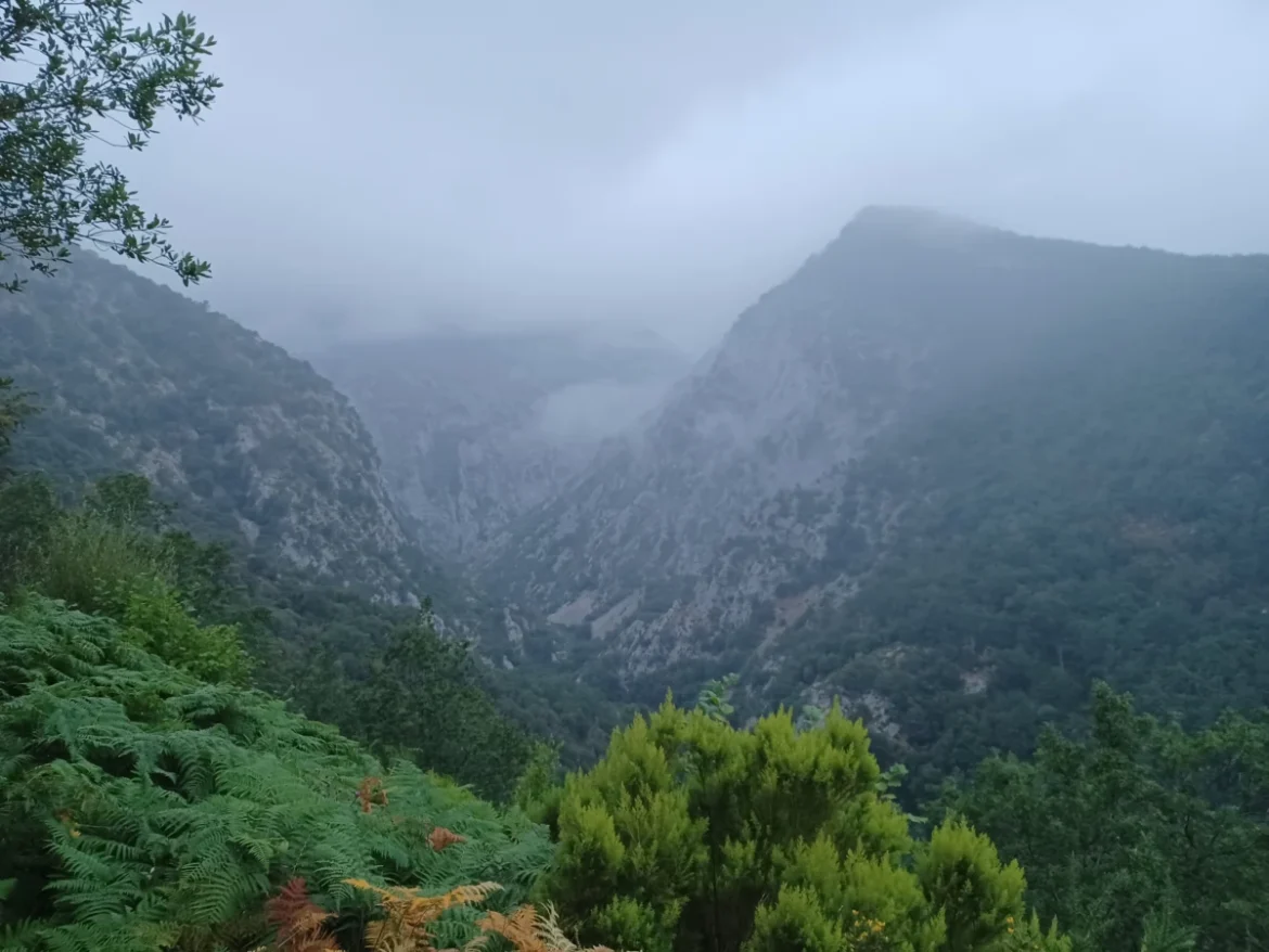

Ask him what you need about this stage, the Camino Lebaniego, its stages, shelters and services.
KJ will respond very soon with his assistant; Meanwhile, we searched the entire web for your question.
El chat por etapas y la comunidad de peregrinos abren muy pronto. Déjanos tus datos y te avisaremos el primer día.
¿Un paso cerrado, una fuente seca, un albergue completo? Avisa al resto de peregrinos. Lo revisamos antes de publicarlo.
 Essential