
How can we improve the information that a pilgrim receives and, at the same time, take care of the towns they pass through? This Tuesday, November 17, in Santiago de Compostela, Spain, France and Portugal presented progress on the European project Ultreia Sudoe, including information stops on services and heritage and a common system to measure the flow of walkers. The meeting will continue tomorrow at the Museo das Peregrinaciones e de Santiago.
The international symposium brings together administrations, associations and technical entities that work on the Caminos de Santiago. The opening included the participation of the director of Tourism of Galicia, Xosé Merelles, who defended cooperation between territories as a way to improve route management. The objective is to move from isolated initiatives to shared tools that can be used in different itineraries.
Information stops to resolve doubts during the stage
One of the actions presented are the information stops, designed to provide information on heritage, accommodation, restaurants, services and local products. The usefulness for those who walk is obvious: finding practical information in their own territory and discovering resources from the towns they pass through.
The initiative also incorporates digital tools based on geolocated data. Its purpose is to organize information of interest to pilgrims and managers. This does not mean that all services are already implemented on all routes or that they replace the need to confirm schedules, availability of beds or conditions of each stage.
The quality of this data will be decisive. An accommodation may change season, a fountain may be temporarily out of service and a section may be affected by construction or rain. For the information to be reliable, the systems need updating and coordination with local agents.
Count pilgrims to better plan resources
Another advance announced is a common system for measuring pilgrim flows. Knowing where and when traffic is concentrated can help plan maintenance, reception and services, and identify areas where it is advisable to intervene before problems appear.
The information can also be used to analyze how economic activity is distributed. Receiving walkers passing through is not the same as getting them to visit a town, buy in its shops or spend the night. Those responsible for the project link these tools with a more balanced tourism development in rural territories.
The symposium dedicates part of its program to accessibility, inclusion and adaptation to climate change. These are issues that affect the pilgrim's real experience: from the possibility of accessing understandable information to the state of the trails after intense weather events.
Eight entities from three countries, with Cantabrian leadership
Ultreia Sudoe is developed within the European Interreg Sudoe program and brings together eight partners. The Camino Lebaniego Foundation leads the project, in which the Santa María la Real Foundation, the Association of Municipalities of the French Camino de Santiago, Amica and the management company of the Xacobeo
The presence of Cantabria connects this international work with the debate on the future of the Camino Lebaniego which RTV has already told. Cooperation between regions can be especially useful for routes that share challenges, even if their landscapes, services and pilgrimage volumes are different.
At RTV we have also analyzed the opportunity represented by the Lebaniego Jubilee of 2028 for the Cantabrian peoples. European projects provide a complementary perspective: how to improve roads throughout the year, beyond a specific celebration.
The debate on the Jacobean future continues on Wednesday
The second day, scheduled for Wednesday the 18th, will address the history of the Camino, experiences from other European cultural itineraries and the twenty-five years of cooperation of the Interreg Sudoe program. There will also be a discussion table on the challenges faced by the Jacobean routes and visits to heritage sites in Santiago.
The organizers offer live monitoring on YouTube. Wednesday's session is announced from 9:00 a.m. to 2:00 p.m., through this broadcast link.
The project is scheduled to conclude in December 2026. A practical question will then remain: what tools will continue to work, who will update the information and how the results will be transferred to the towns and people who travel the Caminos.
International cooperation makes sense when it translates into better stages, reliable information and real opportunities for the communities that receive pilgrims.
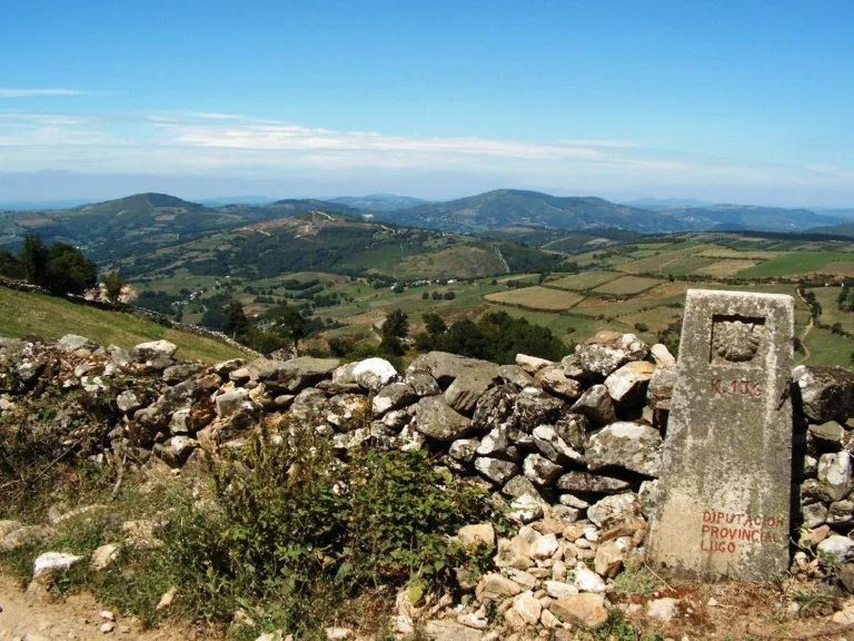
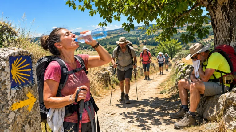
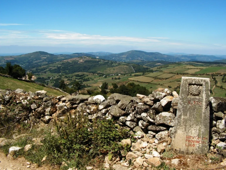
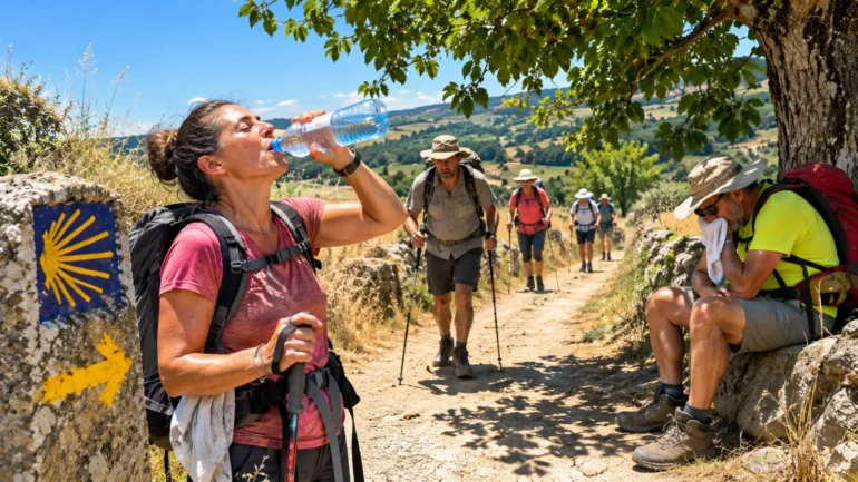
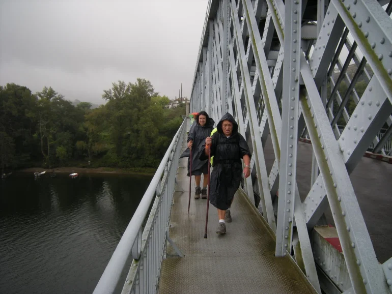
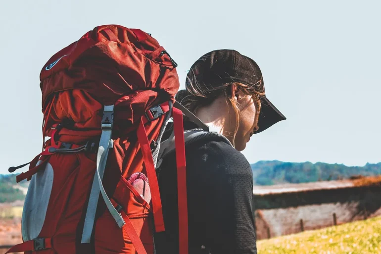
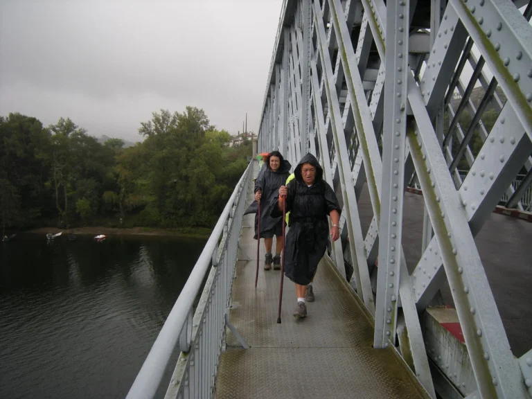
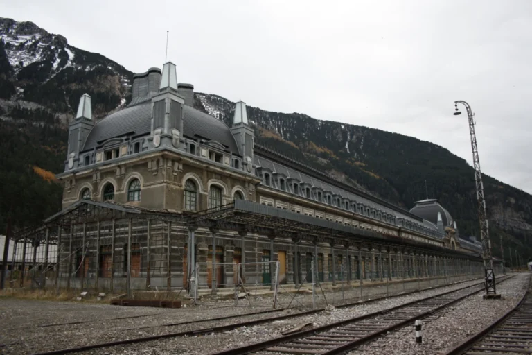
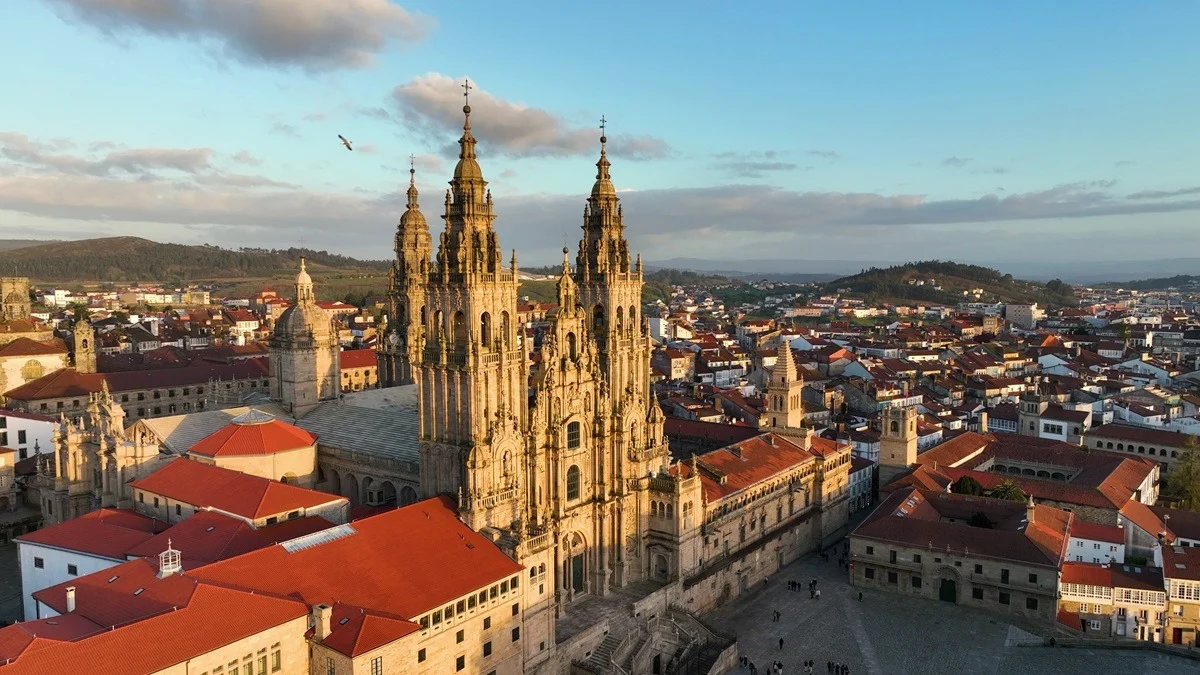
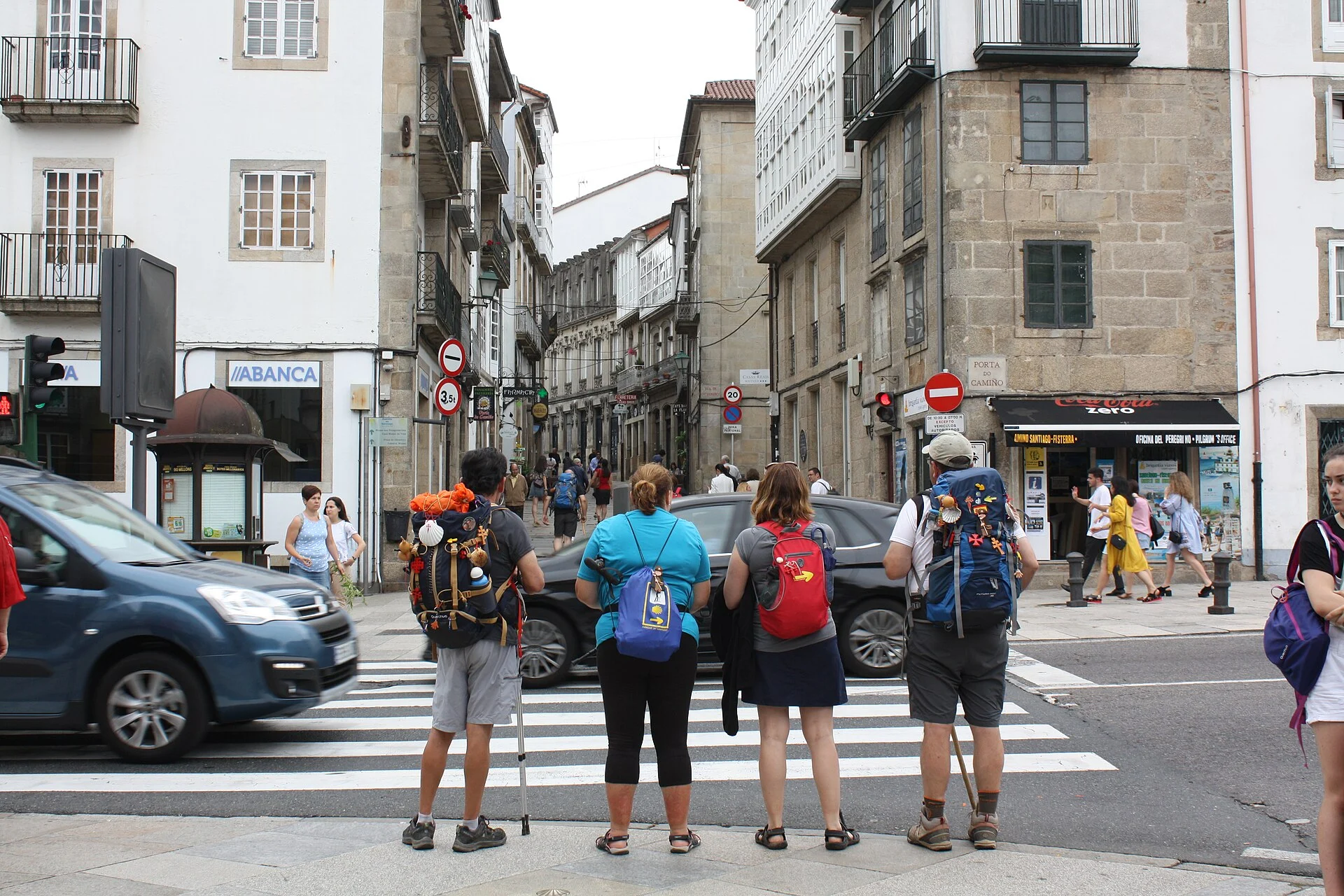
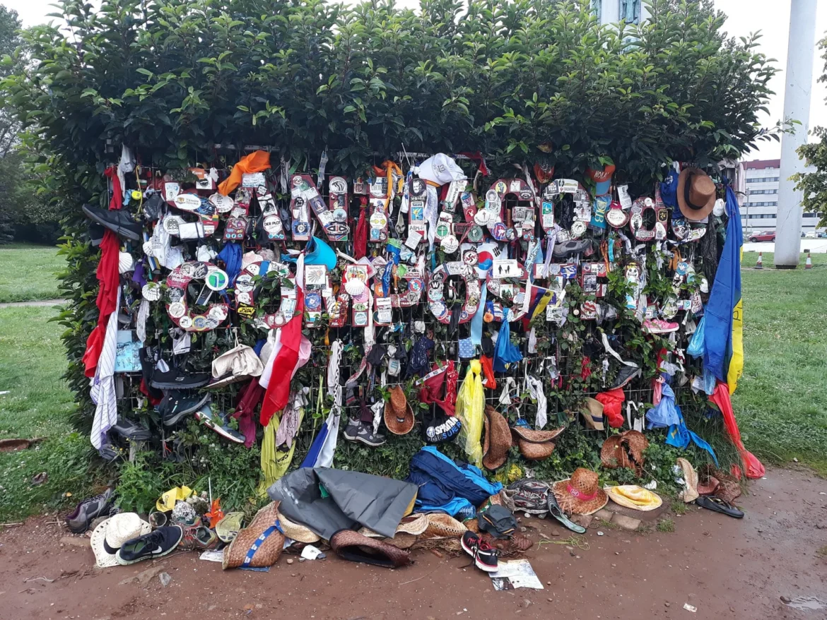
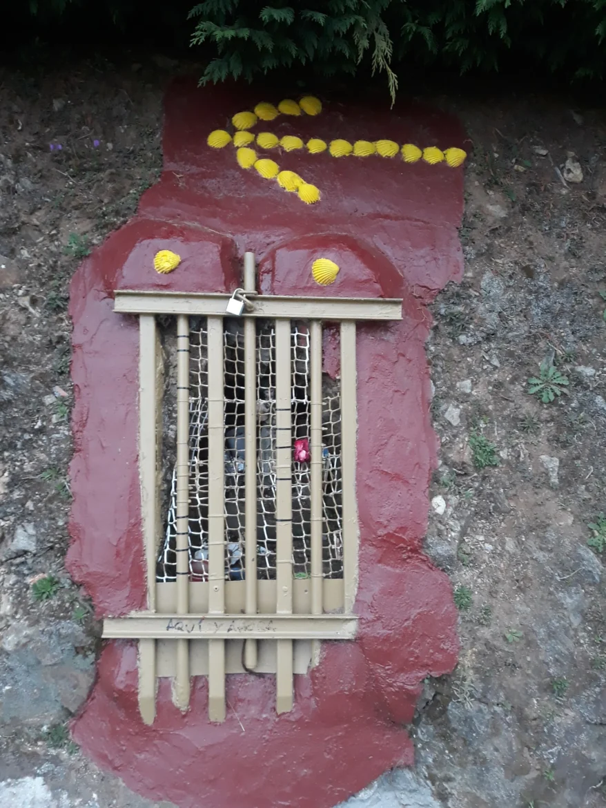
Archive photographs, not corresponding to the symposium: Simon Burchell and Lameiro, Wikimedia Commons, CC BY-SA 4.0 license. Photography of pilgrims.
Sources: Europa Press, November 17; Camino Lebaniego Foundation; Association of Municipalities of the Camino de Santiago.
Images: File photo: Simon Burchell / Wikimedia Commons, CC BY-SA 4.0.
Cover photo: Lameiro · CC BY-SA 4.0 · Wikimedia Commons