



The History of the Vía de la Plata
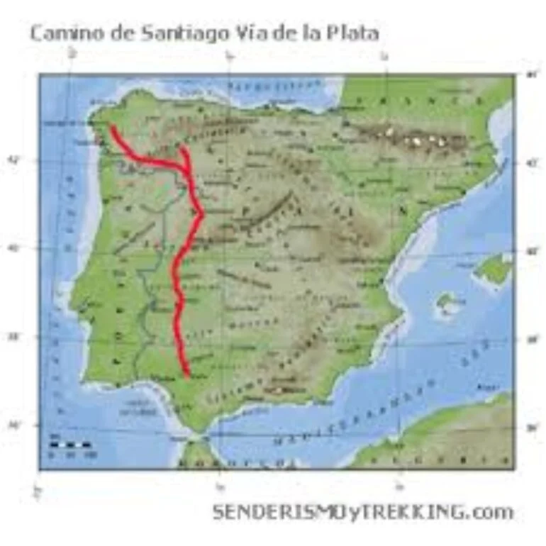
Perhaps it is a matter of time, but if the Google Earth software could apply its powerful zoom, not only on any country, but also on any moment in the history of the silver road, we could go back to the year 196 BC and clearly see the limits and extension of the Citerior and Ulterior provinces, the germ of what is today Spain. Twenty years ago, the Romans had landed on the peninsula and had not only managed to subdue and expel the Carthaginians but also proposed to put in order a puzzle of more than half a million square kilometers made up of tribes of Asturians, Cantabrians, Celtiberians, Galicians, Lusitanians, Turdetans, Vacceans, Vascones, Vetones and a long list of peoples clinging to their land.
In short, a puzzle with thousands of scattered pieces that the Roman army managed to put together in the year 19 BC after more than a century and a half of bloody wars.
In that long period of changes the terms Citerior and Ulterior disappeared and Hispania became divided into the provinces Tarraconense, Bética and Lusitania. emperorThe Iberian Peninsula was, finally, subject to the power of Rome and the times of the republic had ended at the hands of Octavian Augustus (63 BC-14 AD), who had proclaimed himself emperor.
The Roman roads in Hispania and their construction zenith in the imperial era
Millennia before the arrival of the Roman army, there were already countless trails, paths or roads drawn by pre-Roman peoples on the peninsula, fundamentally linked to their pastoral work and the transit of livestock. There is also no doubt that the Roman army took advantage of and improved these rough roads to advance more quickly in their task of conquest.
However, during the war it was useless to beautify the roads too much due to lack of time and fear that they would be used against them by Hispanic warriors.
With the end of the conflict and the arrival of peace, Roman civilization began to manifest its political, administrative, artistic and constructive skills in Hispania.
In the first centuries of our era, until the invasion of the barbarian hordes in 409 AD, the physiognomy of the peninsula changed radically and the Celtic forts succumbed to magnificent cities equipped with forums, theaters, amphitheaters and baths.
 A luxury for the sake of coexistence and enjoyment of the Roman citizen. Among them, in addition to the solid and imperishable trademark bridges, Roman engineers built an extensive network of roads that connected Hispania from north to south and from east to west.
Roman engineers and workers used the materials they had most at hand for their roads and built them based on four-layer agglomeration. The statumen was laid on a sand base, a first layer composed of small stones that were joined with lime or clay. On top of this, the rudus was poured, a powerful mass of stones and pebbles sealed with lime mortar. The third layer was the nucleus, pure coarse sand concrete, and the last of all was the visible rolling layer or summa crest, formed by the typical stone paving. In this regard, Isaac Moreno Gallo, in his study Roman Roads, Engineering and Construction Technique published by the Ministry of Public Works, differs and defends that the road surface was not paved but rather that on top of the slabs there was another thinner layer of loose earth that made it possible for the cars to move at a higher speed.
Next to the roads there were distance indicators called milestones that were placed every 1480 meters. This measurement was the length of a Roman mile and was equivalent to a thousand Roman double steps, taking into account that each double step measured one meter and forty-eight centimeters. The milestones are cylindrical granite columns that are engraved, in addition to the mile number, with the name of the emperor who commanded when the roads were built or modified. A large number of them still persist on the Vía de la Plata and, specifically, numbers XXVIII and CXXXIV are known as the Correo milestone and the Corral milestone.