

Galiza has just officially presented two of the most ambitious road projects on its coast: Camino do Litoral, a course of approximately 1,400 kilometers between Ribadeo and A Guarda, following a large part of the Galician coast from north to south.
A nova rota was conceived to be walked on foot or by bicycle and is organized in 52 stages, crossing 78 municipalities and linking some of the most spectacular coastal landscapes of Galiza.
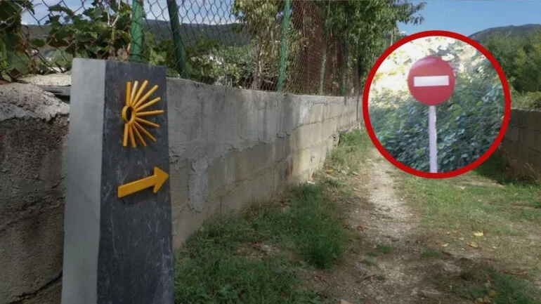
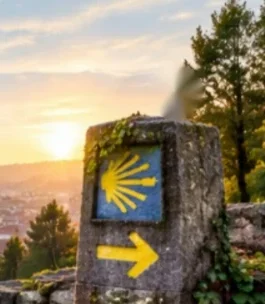
There is a new official Caminho de Santiago, but its connection with the pilgrim universe is inevitable. The route crosses territories where you pass different Jacobean routes and offers a new way to discover Galiza with the same philosophy as the famous Camino: walk wander, discover small towns and get closer to the territory.
On the border with Asturias and Portugal
The Camiño do Litoral begins Ribadeo, next to the border with Astúrias, and ends in To Guarda, practically on the doorstep of Portugal.
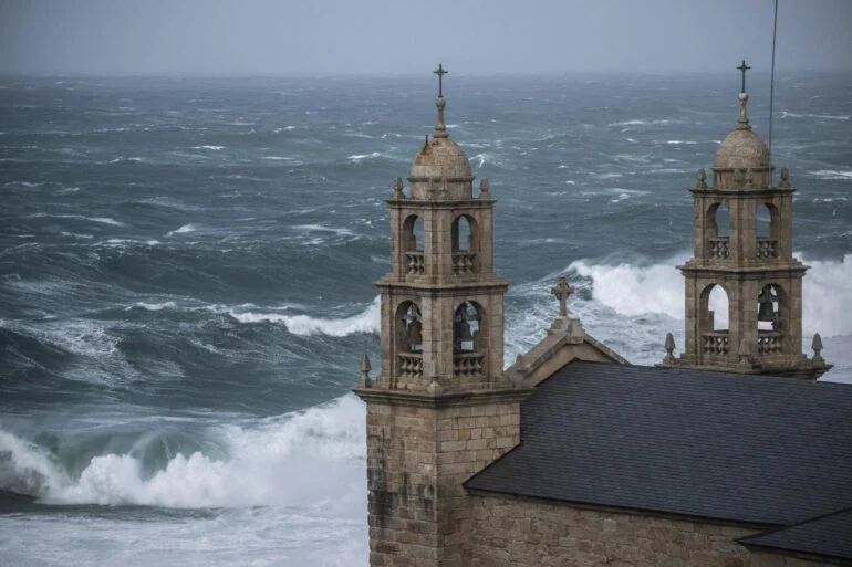
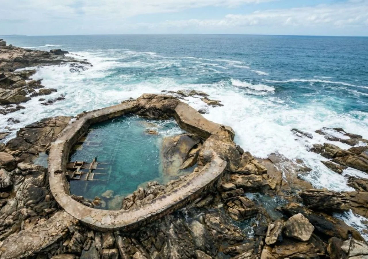
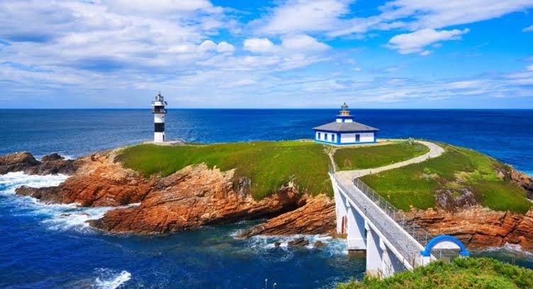
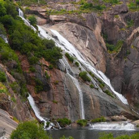
Between both extremes, the coast runs along the coast of four Galician coastal provinces, passing through falésias, beaches, portos, faróis, fishing villages, protected natural areas and historical cities.
It is a journey that allows us to understand a very different Galiza than many pilgrims experience just in the last few kilometers before Santiago.
Here, the protagonist is Atlântico.
52 stages to discover the Galician coast
They are 1,400 kilometers long divided into 52 stages to allow each traveler to adapt the route to the time available.
This means that it will not be necessary to complete the entire round in one go.
As is the case on the Camino de Santiago, the traveler will be able to choose a specific area, complete several stages over a few days or return at different times to progressively complete the route.
It also intends to distribute visitors to less known locations and promote tourism during different times of the year.
Very much more than beaches
The Galician coast is internationally known for its beaches, but the new itinerary aims to show a much broader reality.
Throughout the journey we find small maritime villages, fortresses, churches, monasteries, protected landscapes, historic lighthouses, markets, ports and a gastronomy deeply linked to the sea.
Or project combines assim nature, heritage, culture and active tourism.
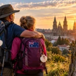
For those who are on the Caminho de Santiago, the experience can be especially familiar: backpack, stages, maps, small towns and many kilometers in front.
I know that this time a large part of the trip takes place on the Atlantic side.
An opportunity for Portuguese travelers
The location of the final round in A Guarda makes the project especially interesting for Portugal.
The mouth of the Minho River separates Guarda from the Portuguese north, an area with strong historical, cultural and tourist links between both sides of the border.
Além disso, many Portuguese pilgrims who know the Portuguese Way can find this new broken coast another way to explore Galiza on foot.
The itinerary can also create opportunities for future cross-border links with Portuguese routes.
My challenge now: transform the plot into a real experience
Desenhar 1,400 kilometers on a map is just the first step.
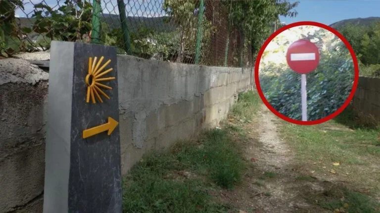
The actual success of the Coastal Road will depend on the signaling, maintenance of the roads, security, accommodation, transportation, traveler information and integration of the localities crossed.
The Camino de Santiago demonstrates that a road can economically transform small territories when there is a solid network of services and a clear identity.
The Camiño do Litoral will now have to build on its own.
To Galiza that runs next to the sea
For many travelers, the biggest attraction will be precisely the possibility of getting to know Galiza without interruption.
Ribadeo.
To Mariña.
To Costa da Morte.
As Rías Baixas.
To Guarda.
Quase 1,400 kilometers of coastline united by a single path.
It is not necessary to walk to Santiago.
This time, just keep going.
And perhaps that is precisely the charm of this broken nova